Here we are, Iceland Part 2: the Fimmvordahauls hike.
Before I get into it, I want to set the scene. I (in this case, we) are big hikers. So naturally, doing a day-long hike while we were in Iceland was a no-brainer. And during my planning, this was by far the one that everyone recommended, though with the warning that it wasn’t a beginner’s hike.
I’d done rather extensive research and figured this was the one. Here’s what I knew:
- You’d hike through 26 waterfalls, one volcano, two glaciers, and three completely different landscapes
- It was a point-to-point hike that had a few different places to start and end
- Depending on the route you chose, you’d need to book a transfer to bring you back to your car and, in certain cases, a 4×4 transfer
- The hike was approximately 25 km (around 15.5 miles) with a 1400-foot elevation (the route we chose)
- It would take an estimated 8-10 hours
- The best time to hike is the end of June – early September
Sounds great, right? It absolutely was! However, like any good travel story, there were things that didn’t exactly go to plan. So, here’s our Fimmvordahauls experience and what we would have done differently with the information we have now.
Preparation
Route: Skógar to Thórsmörk (Básar)
Transfer: 8:30 pm through TREK (which costs roughly 10,000ISK a person)
Timing: Arrived at Skogfoss at 11 am to start the hike and 8:30 pm bus pick up time, which gave us roughly 9.5 hours for the hike (we’re fast hikers, so this felt like overkill at the time)
Start: Skogafoss waterfall
End: Básar, Thórsmörk
Skogafoss to Crossing the Skoga River
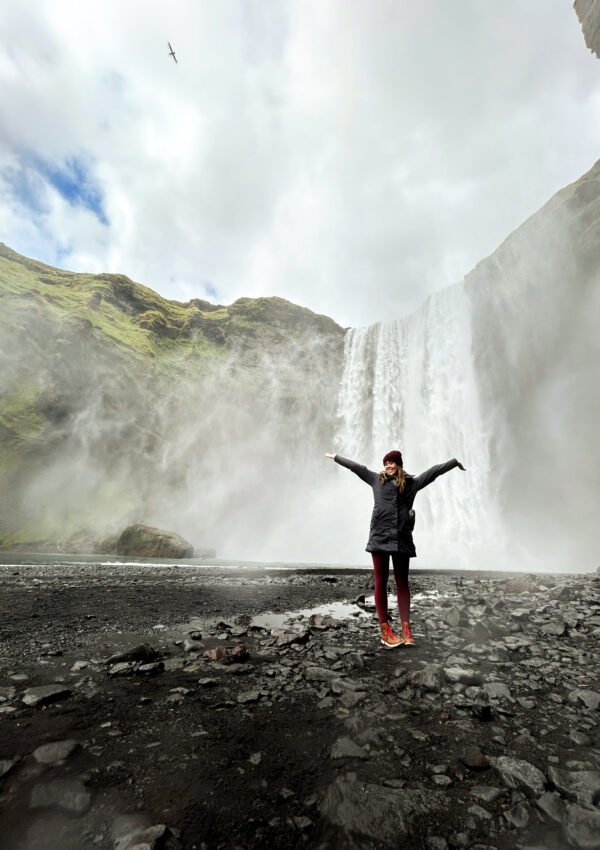
After breakfast, We set out to the top of Skogafoss Waterfall to start the hike. To get to the top, just take the stairs to the right of the waterfall. If you haven’t put this waterfall on your list, do it now. By far my favorite waterfall in Iceland!
If you research this hike, you’ll see a lot of people call this stretch of the hike “Waterfall Way” because you pass so many incredible waterfalls along the Skoga River. Because of this, many people opt to hike the first part of the hike to see the waterfalls. Be prepared for a more crowded trail for this portion!
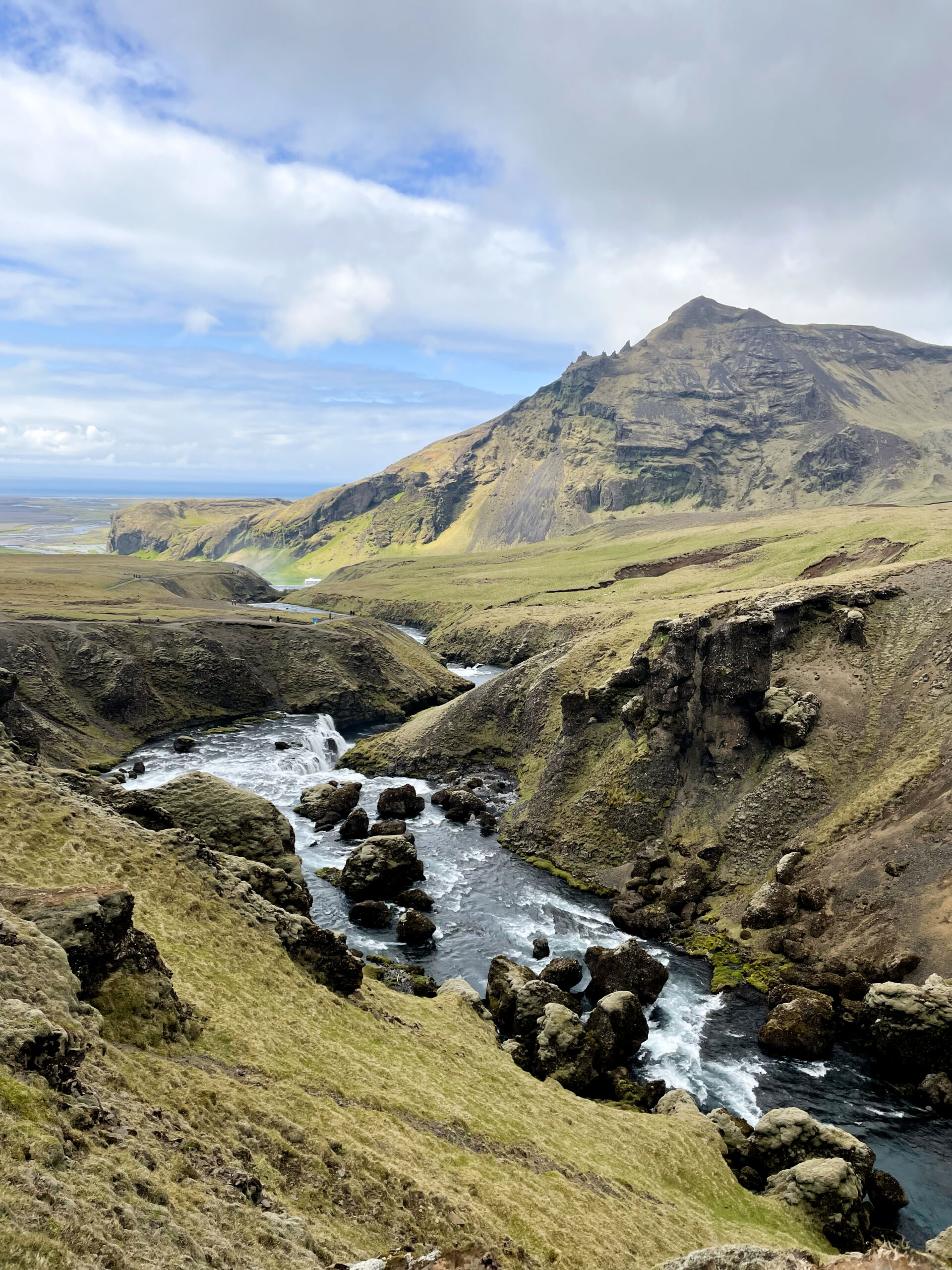
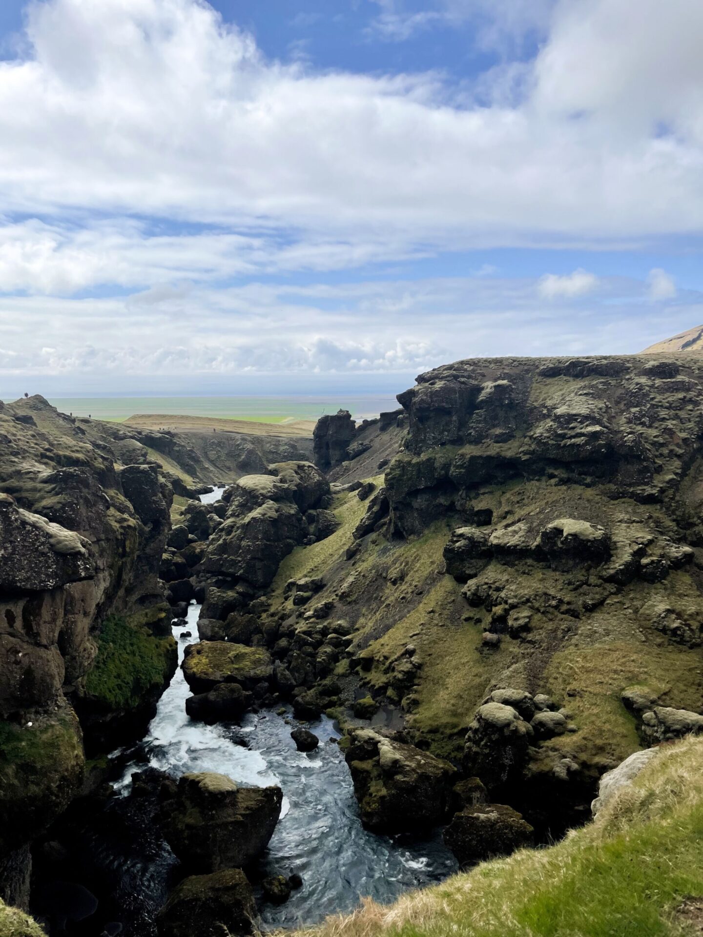
For the next several miles, we were constantly in awe of what we were seeing–from waterfalls to lush green hills and valleys to various ice caps tossed in the distance. Some parts of it even felt out of this world with the rock formations, colors, and terrain. Truly, this landscape felt fictional, it was that beautiful!
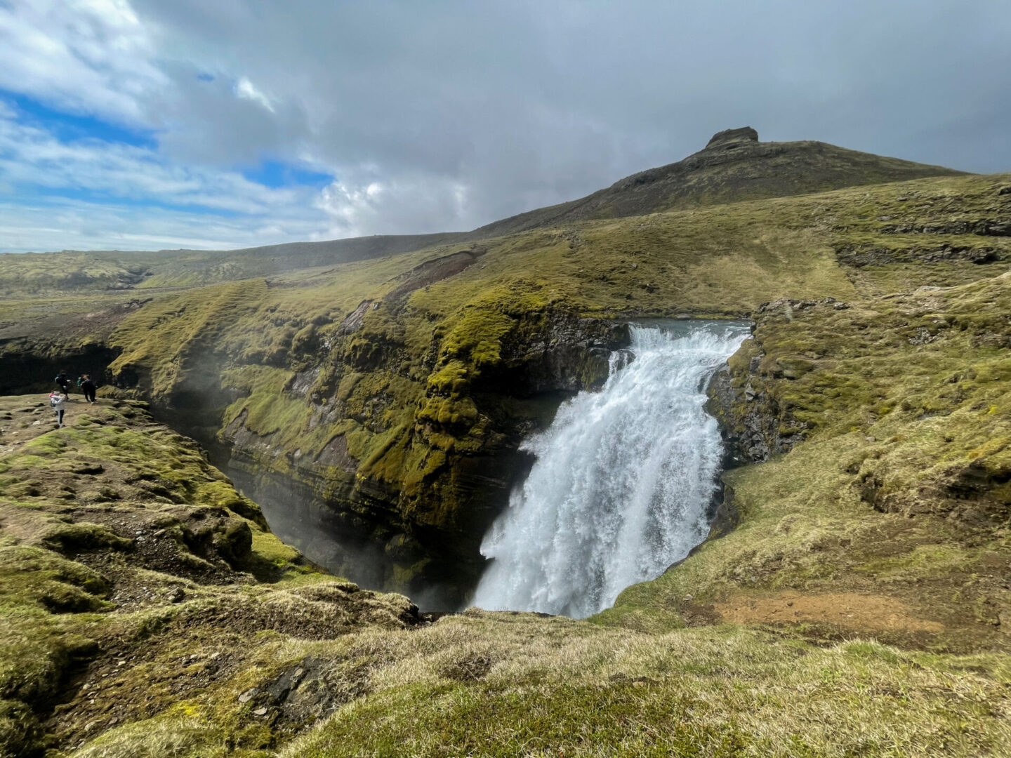
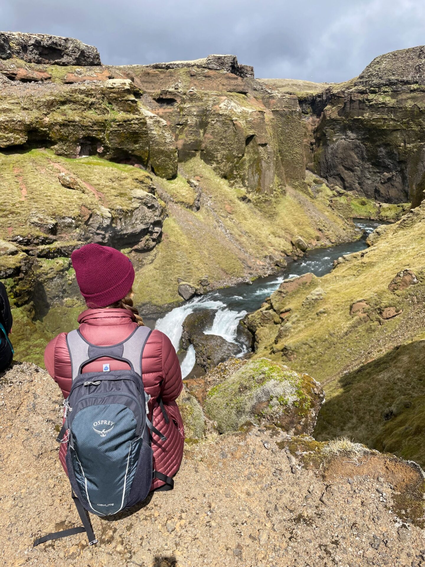
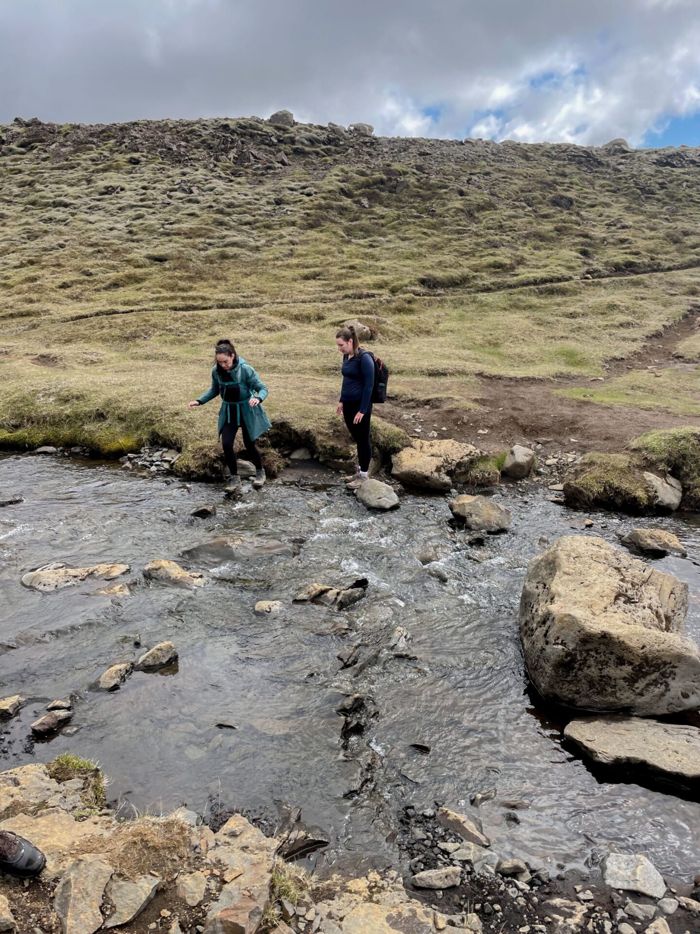
We took our time taking photos, enjoying the landscape, basking in the sun (we had the most incredible weather during this hike–sunny!), and stopping for a quick lunch around 12:45 pm.
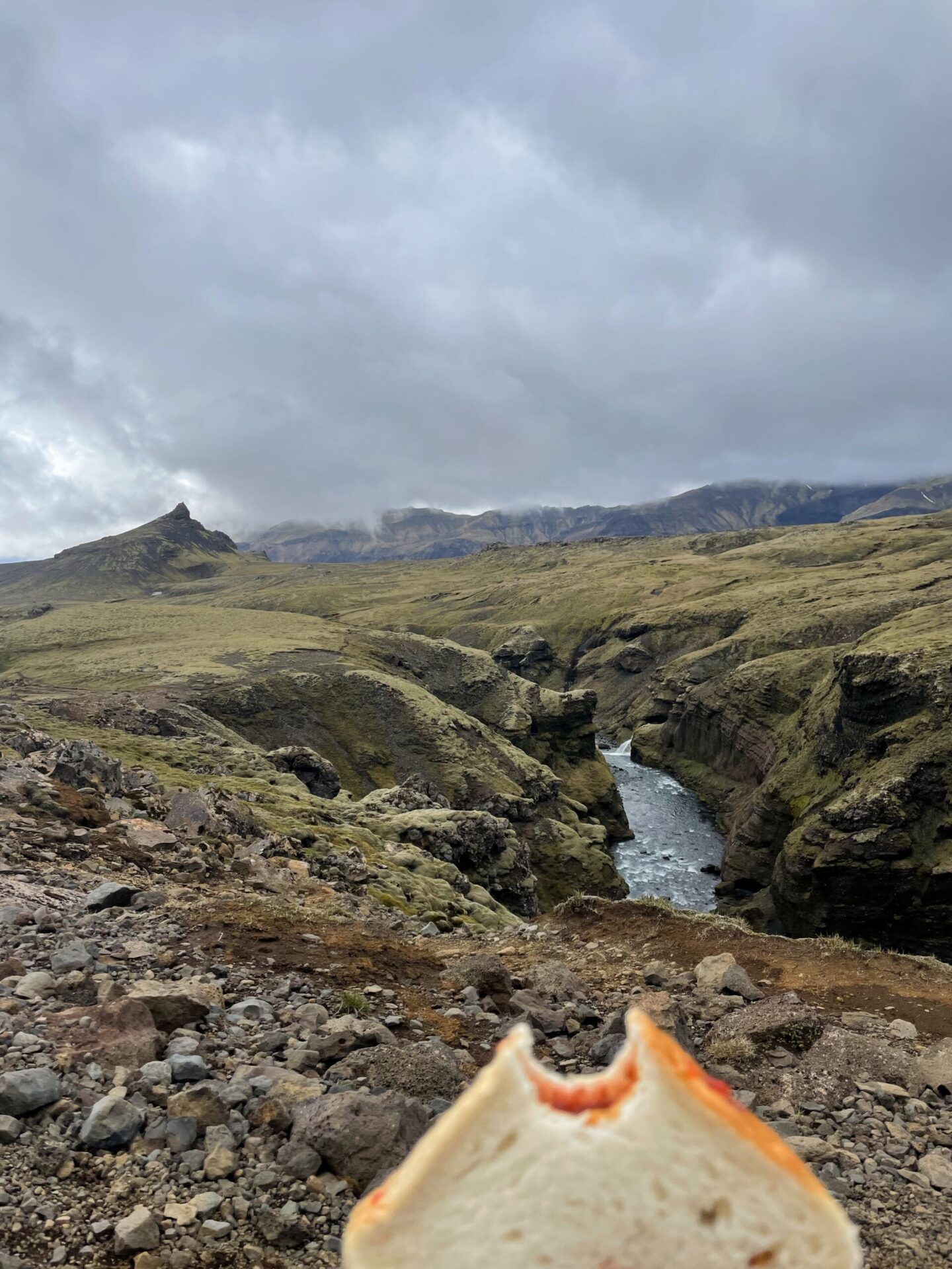
Remember how I mentioned a lot of people hike a portion of this hike to get their waterfall fix in? Typically, they hike to the Skógá River crossing, which is around 5 miles. Not bad.
We stopped, confirmed our route, and chatted with a few hikers. One man we talked to (he was from Finland!) was doing the same hike but in the opposite way. He seemed slightly concerned that we were underdressed for the occasion and mentioned rain coming. Because of the current conditions, the trail would take much longer than planned, so we should probably get a move on.
We considered his concerns but ultimately decided to keep going. Obviously!
Skoga River Crossing to Baldvinsskali Hut
Like I said, typically, people turn around at the river crossing. Why? Well, it’s a long hike that requires preplanning, and you get plenty of stunning views up until that point…
Once you cross over the bridge, it’s a long, barren, and mostly uphill journey until you get to the Baldvinsskali Hut. It’s eerily quiet–for us, even more so since it was only us on the route at this point. Like no trees, no animals, no people quiet.
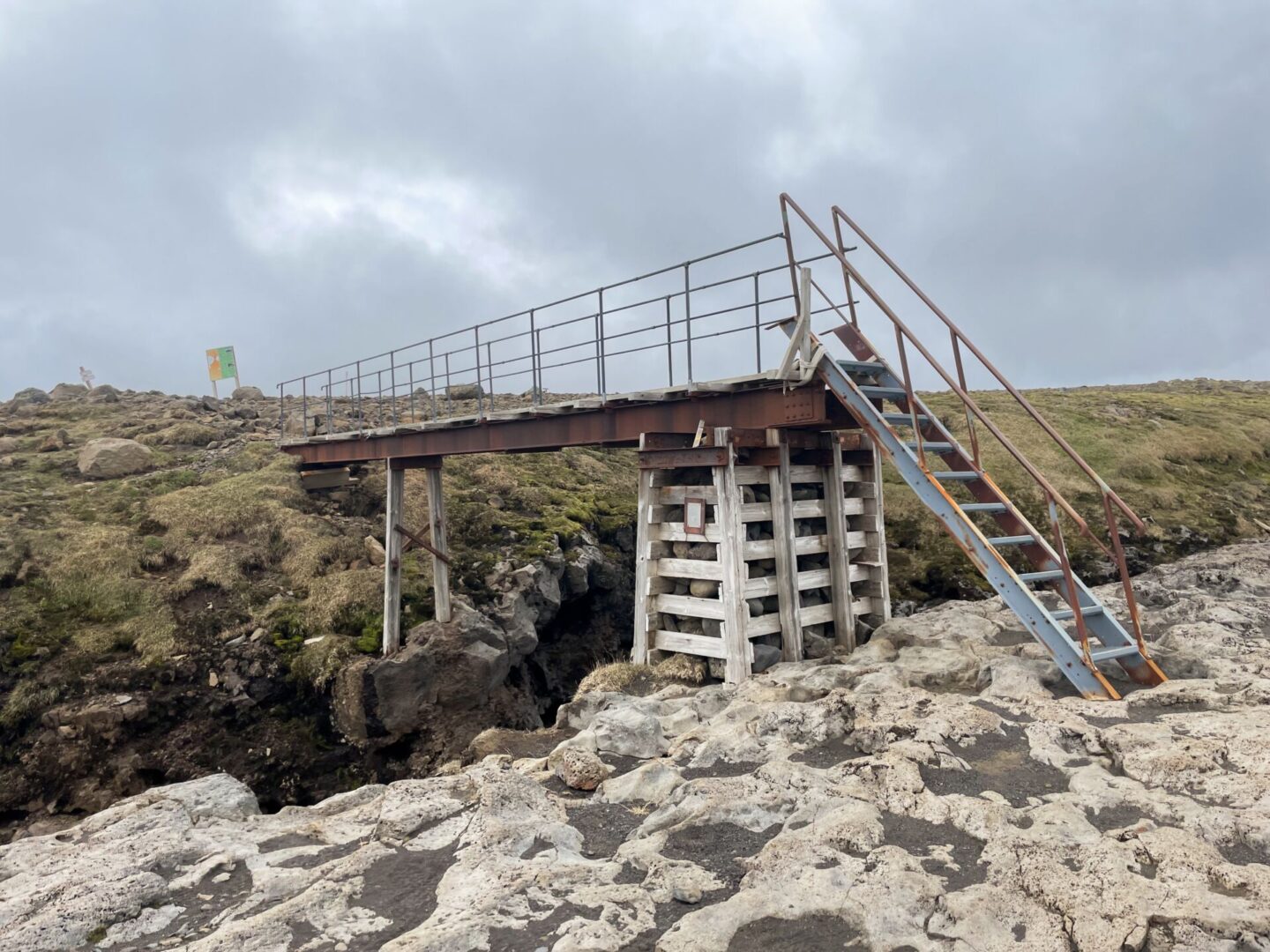
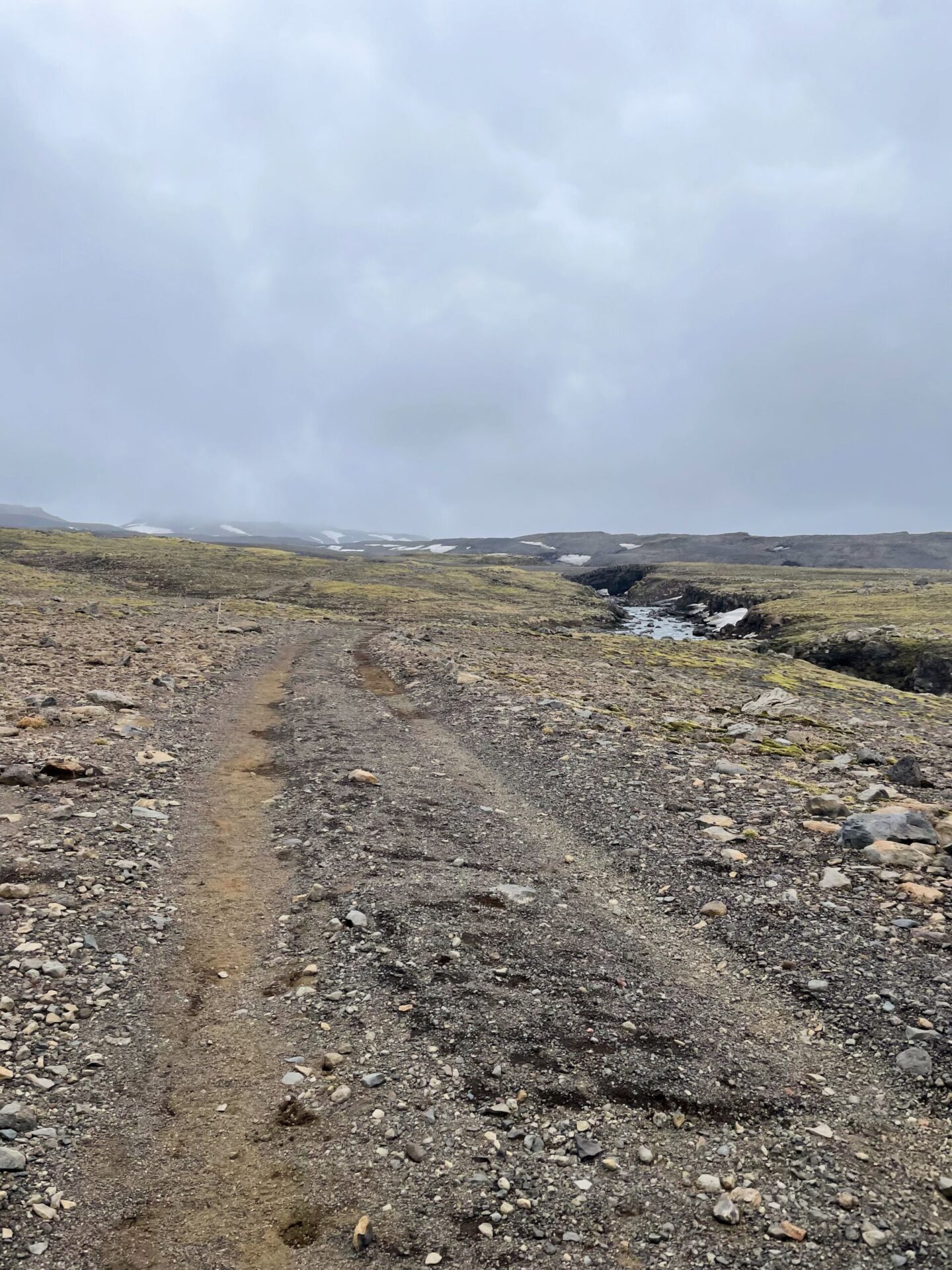
We were in good spirits, stopping to take a few breaks to stretch our hips along the way. But once we got to the hut, things shifted. It was our first view of snow (not just a light dusting), our bigger mountain to climb, and impending fog.
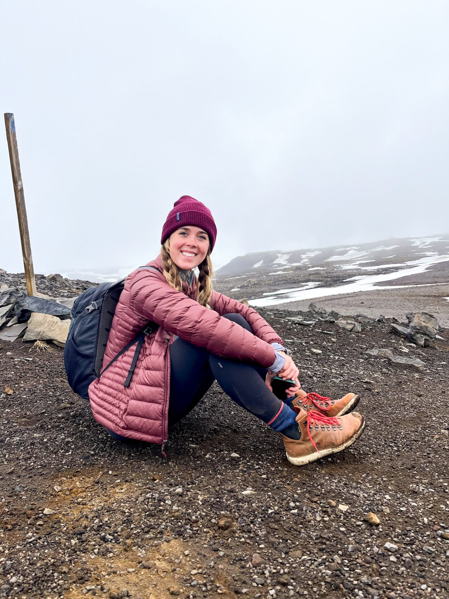
The hut marked (roughly) halfway, so we knew that we wanted to keep pushing. At the time, it was the best option, though if I was presented with that option knowing what we dealt with, I would have chosen to turn around. Hindsight is always 20/20, LOL.
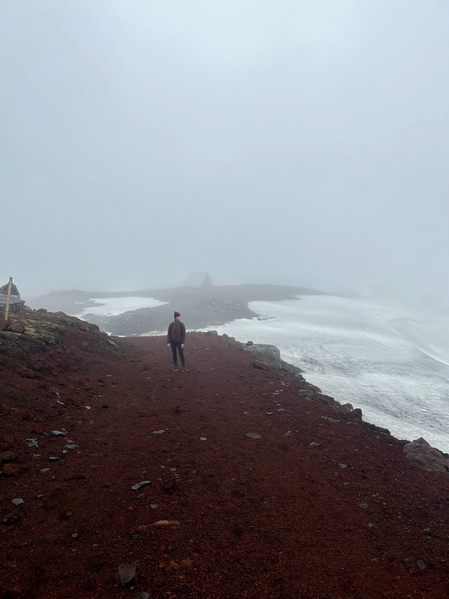
We started off with a light fog, which made it slightly more difficult to find the markers, but it was not impossible. At the same time, the snow was still relatively shallow and packed down. We started to climb mountains, but it wasn’t overly strenuous (yet). We were optimistic!
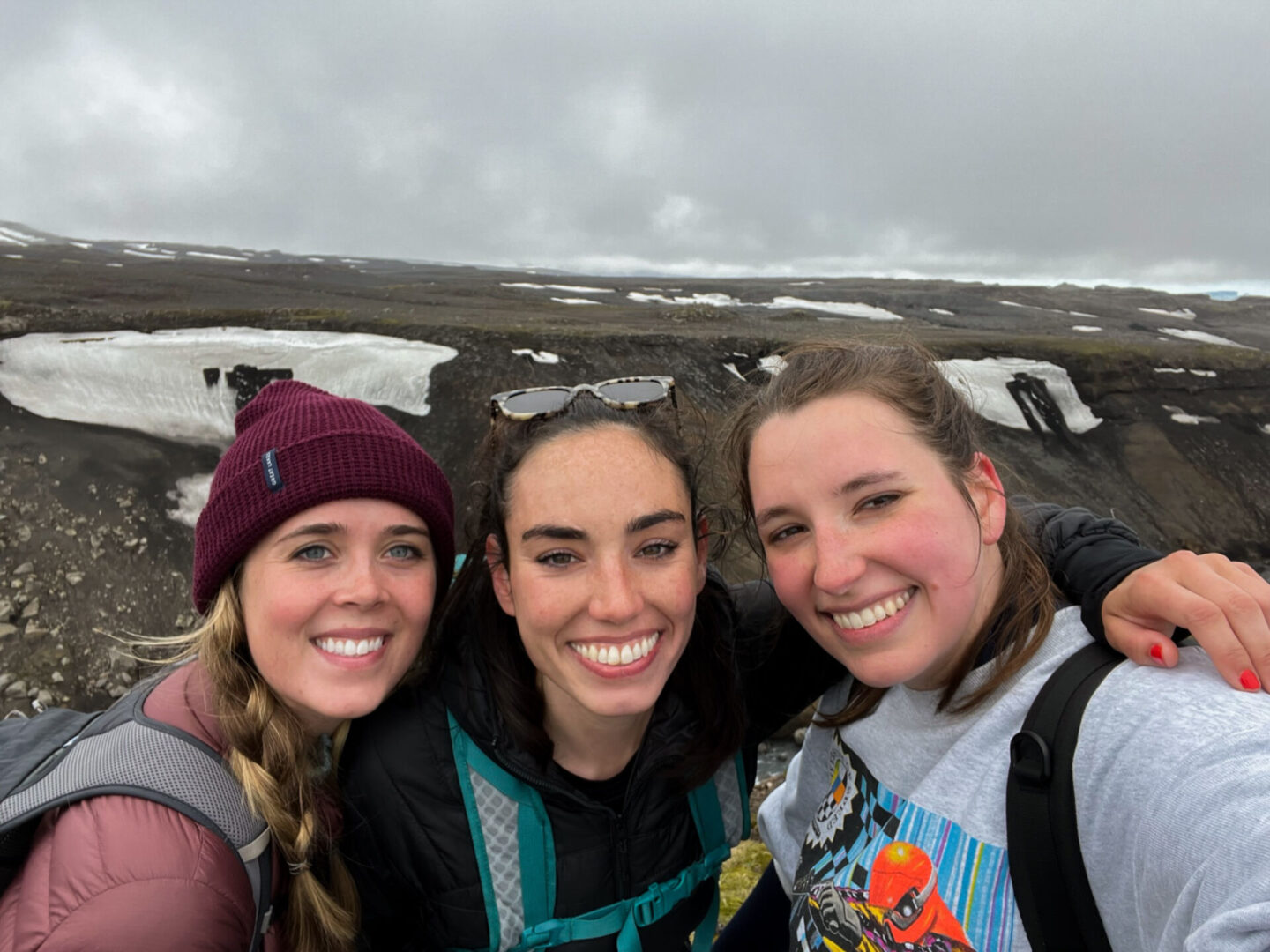
Eyjafjallajökull to Fimmvörðuháls Pass
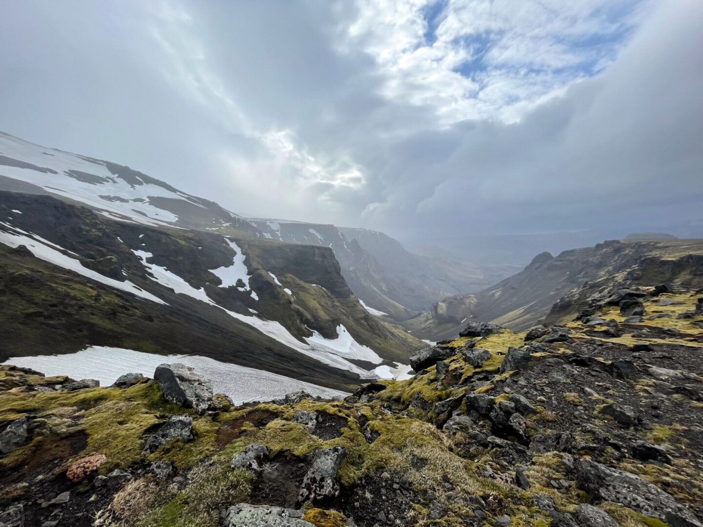
Things started to get harder as we hiked between the glaciers Eyjafjallajökull and Mýrdalsjökull. The fog got thicker. And the concept of exactly how remote we were (with no cell service) became more apparent. So things felt spooky, that’s for certain. Plus it was a constant up down, up down, which got old real fast.
Then the snow came and it wasn’t just a light dusting like in the video (which if you listen closely at the end you can hear a “I wanna cry,” ha).
After walking in fog that only allowed you to see 15 feet ahead of you in the snow a foot deep AND up a mountain (then down, then up another, etc.) for an hour and a half, we were exhausted, and our spirits were depleted. Add having to climb a sandy mountain into the mix, and you can imagine how ready we were to be done. (In April 2010, a volcano erupted (Eyjafjallajökull), which meant that this “sand” was new volcanic soil, making it incredibly soft and slippery.
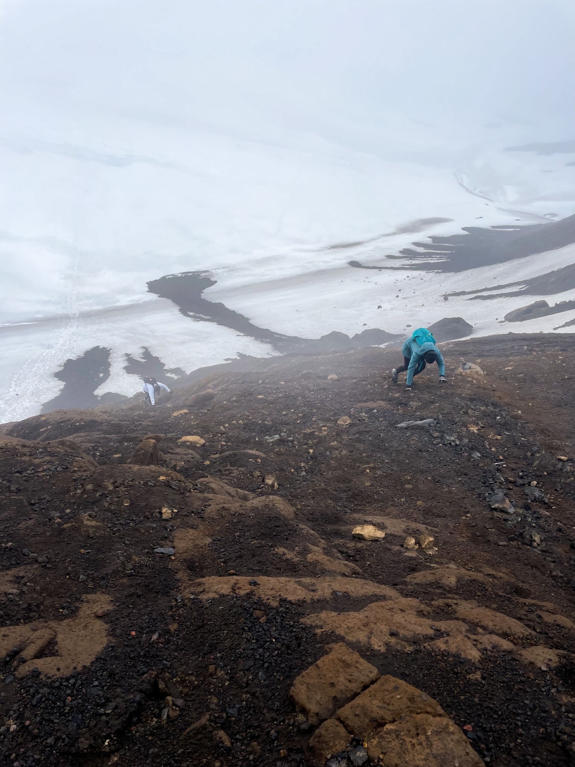
I’m not normally a panicky person, but climbing up the sandy mountain really got to me (not as dramatic as I’m going to die but more of a if I get hurt I’m so screwed) so it felt like a true feat getting through that!
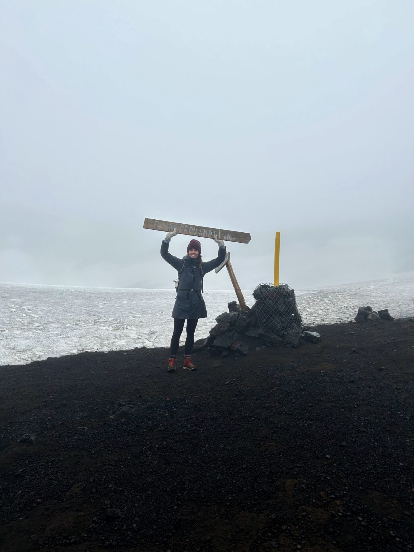
For the next hour, none of us spoke; we just kept walking (or climbing) forward through the Fimmvörðuháls Pass. We’d later find out we were all silently praying that we’d get off this thing safely. That is exactly what you want to be doing on a remote mountain, right?
(Note: We found out later that this part of the hike is not only the most difficult but also the peak, meaning the weather can, and does, change incredibly quickly here!)
Just when our spirits were quite literally at their lowest, we saw a break in the fog, a downhill pathway, and FINALLY some greenery. Hallelujah! (Note: can you see the mix of anticipation, relief, and dread on her face?)
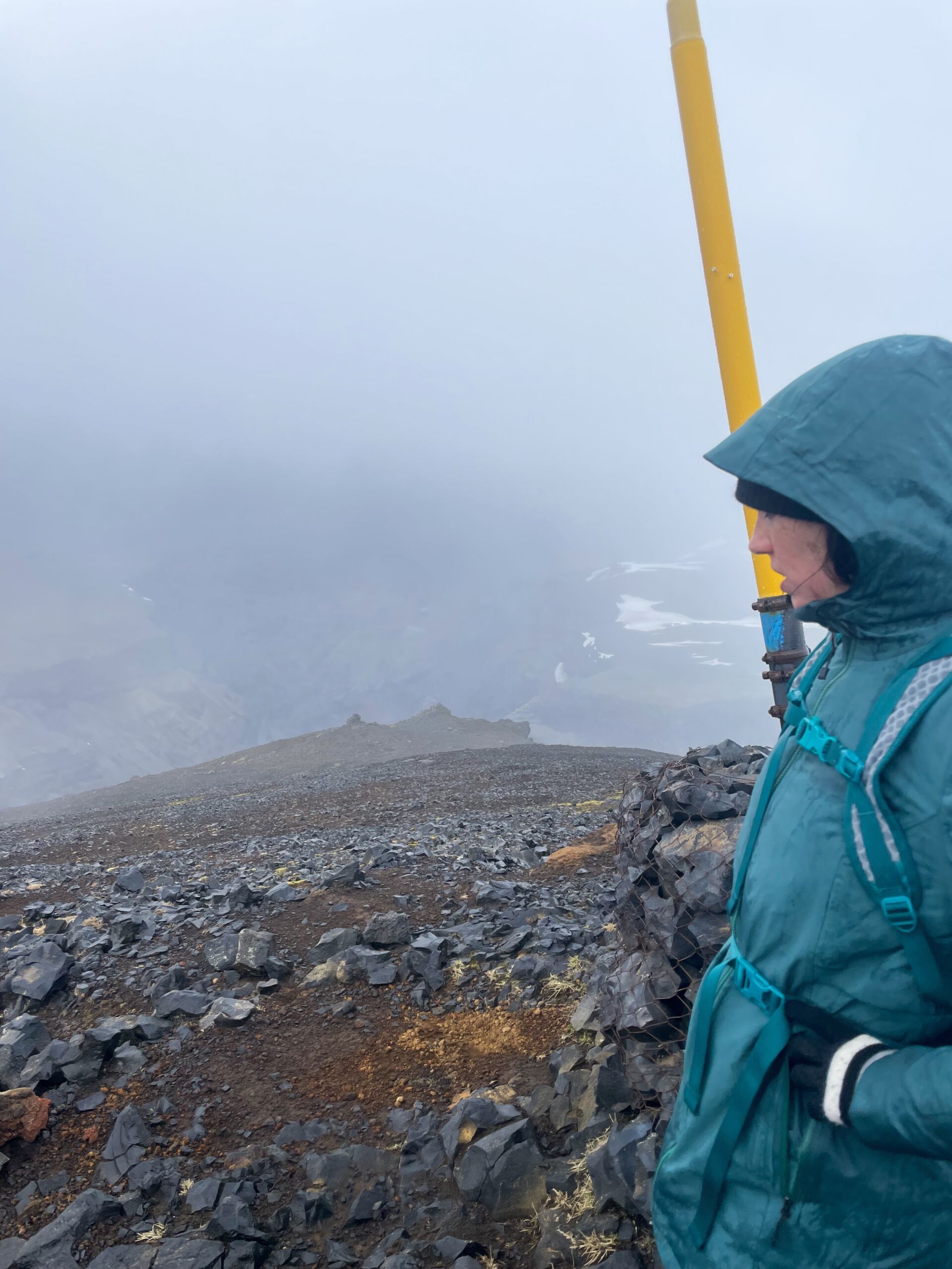
We ended up sliding down the mountain we had just climbed–a wonderful break and a fun way to get down. Not to mention the views, which were some of my favorite things on the trip. We later talked about how if we didn’t see the greenery and slide down the mountain at this point, someone would have a breakdown.
Hells Landing and Cat’s Spine Ridge (Kattarhyggir)
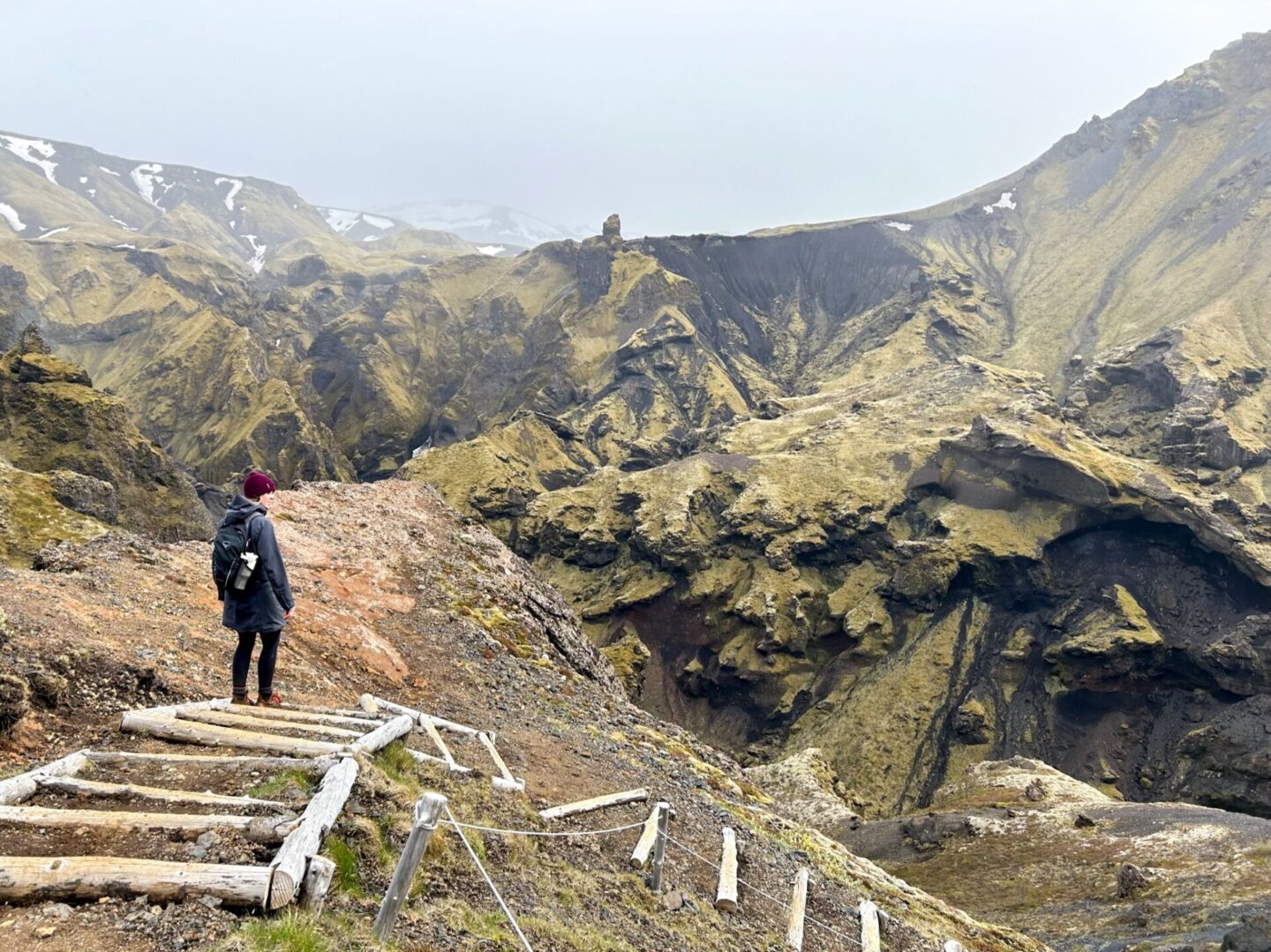
We had to cross a large revenue line before we could get to what looked like the “easy” part. But don’t worry, we didn’t get off that easily. First, we had to cross Hell’s Landing (exactly how it sounds). From other research, it looks like this isn’t quite as terrifying as our experience if you were either with a guide or there further into the season.
Basically, we had to cross a very narrow peak that was covered in ice, had massive drops on both sides, and the handrails were gone because of the snow.
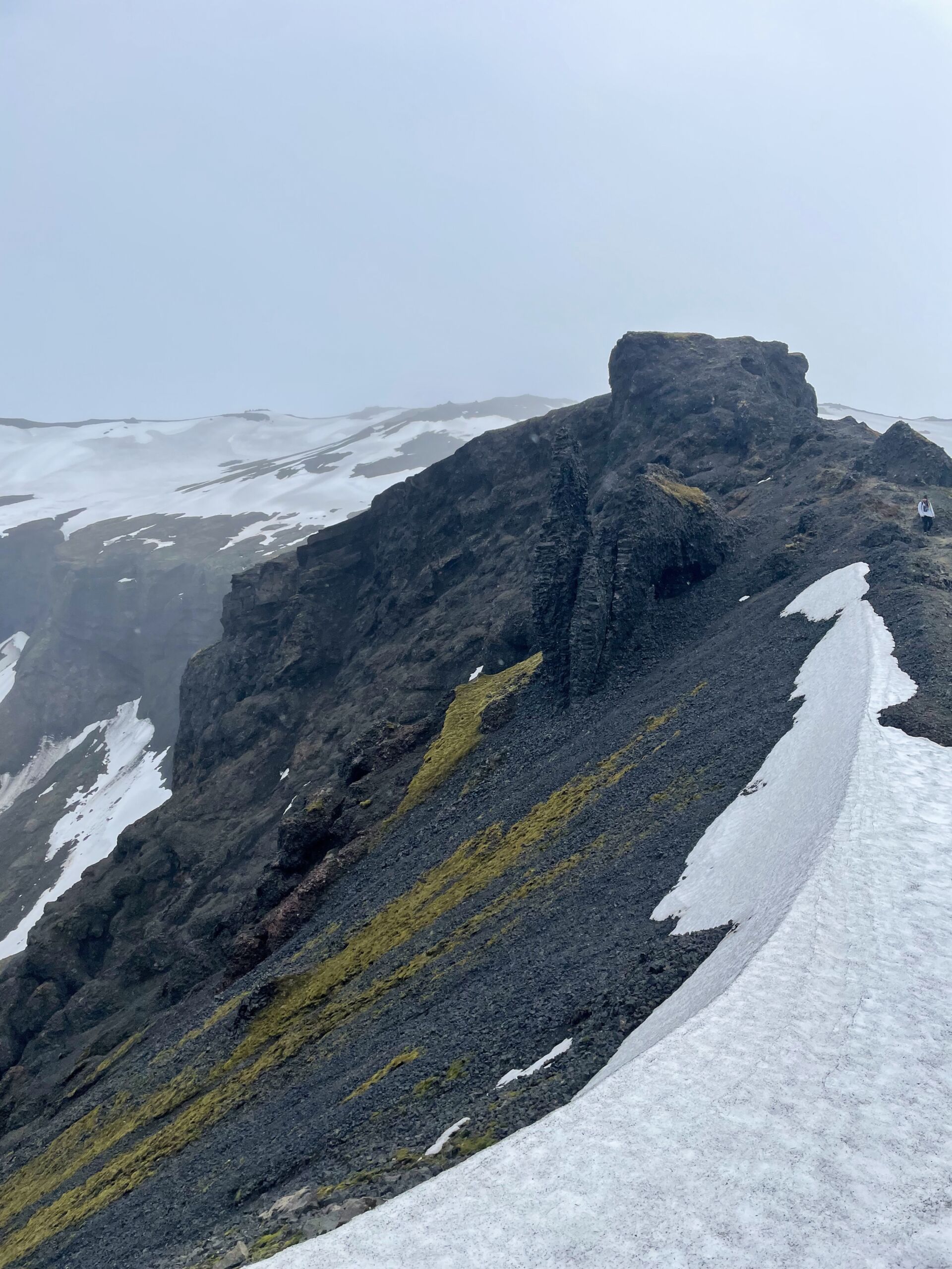
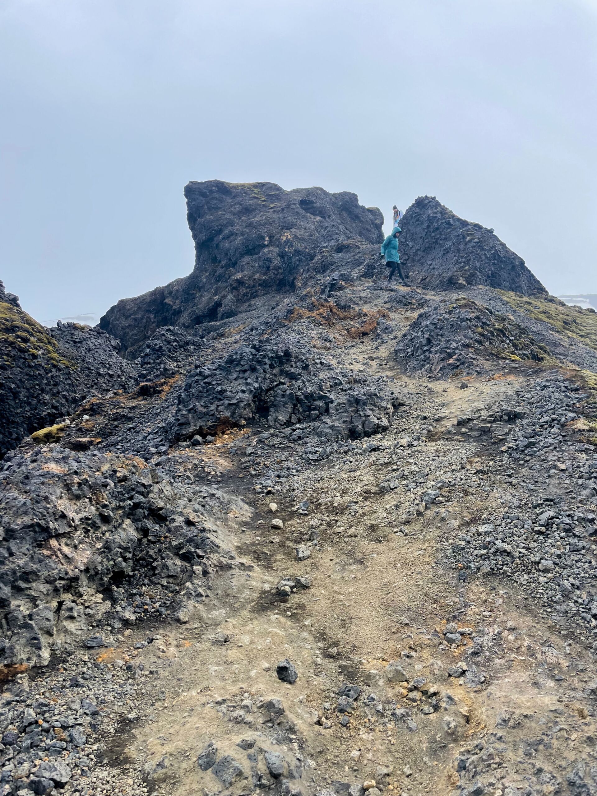
But for us? Not great. Luckily, I put aside the fear and just did it without thinking. What else was I going to do? Turn around? No. So through it was. And surprise, I lived!
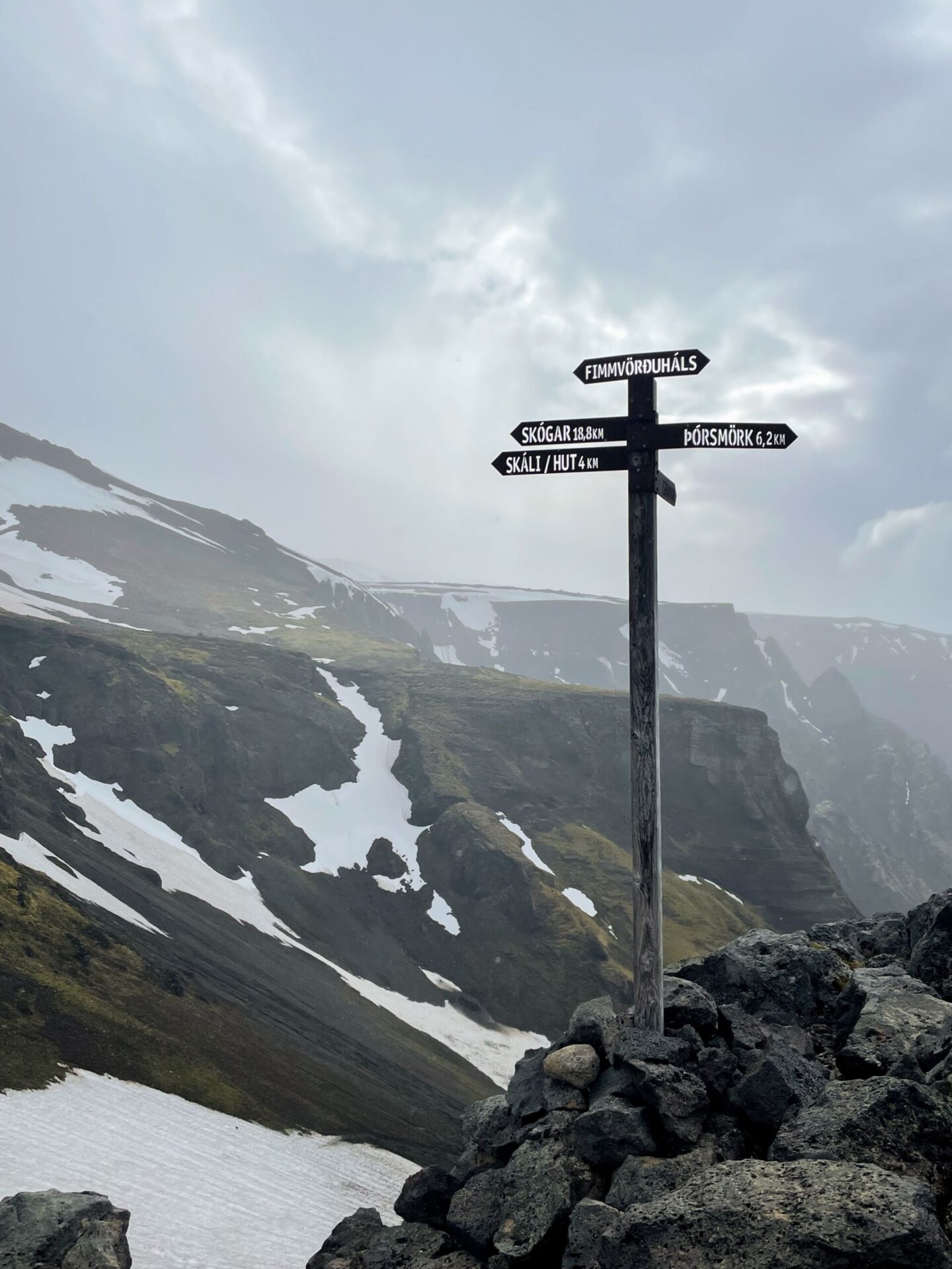
Thankfully, we were rewarded for the hell we went through (pun quite literally intended) with a reprieve in the landscape and a rainbow.

As we kept making our way down, the views just got better and better. AND we kept getting surprised with MORE rainbows!
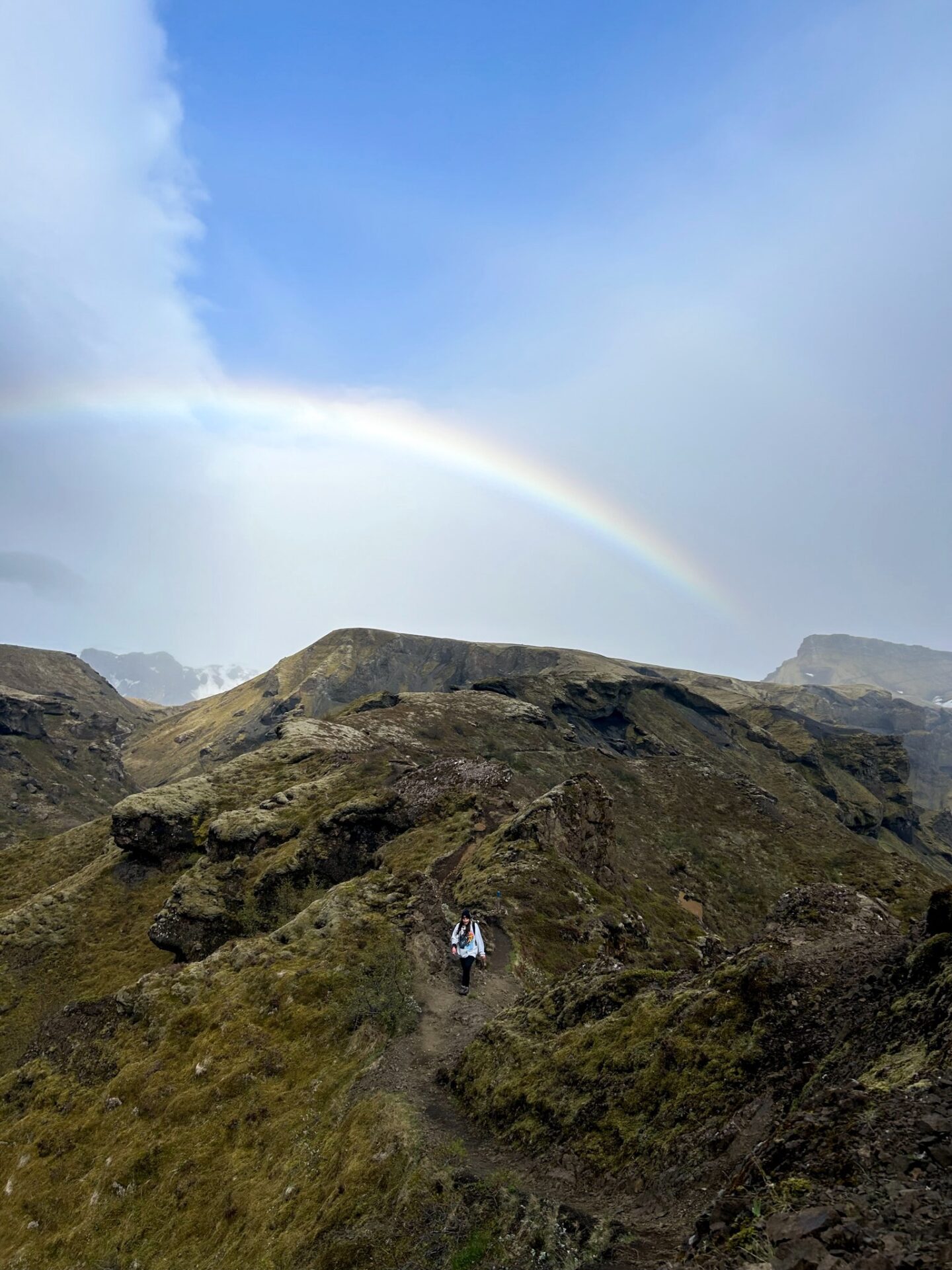
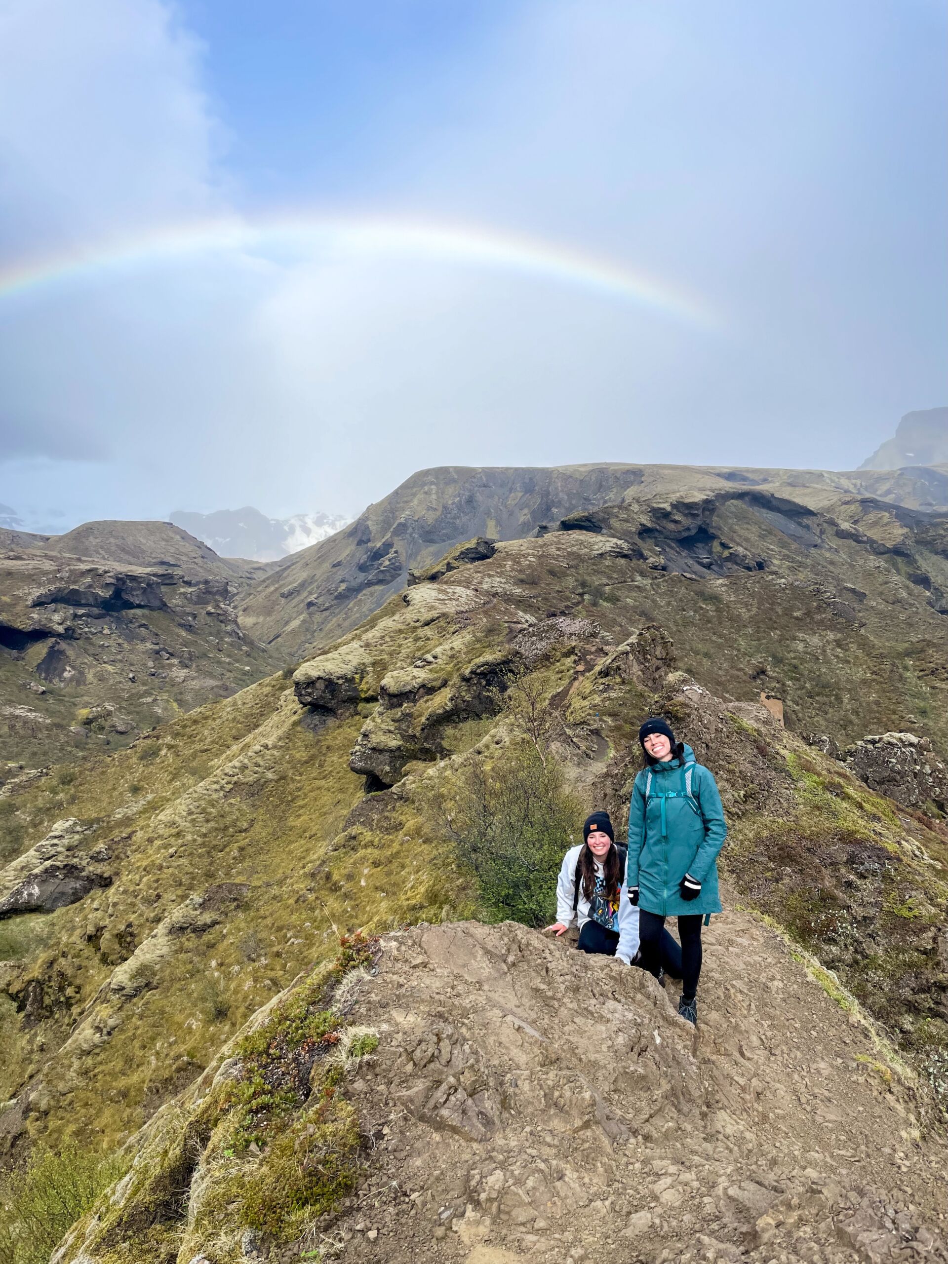
Have you ever experienced something that, while it’s happening, you recognize is a life-changing experience that you didn’t expect? You somehow know that the emotions, struggles, views, and everything will be something you reflect on often? That was what we all realized when we saw these rainbows. It was nothing less than a God wink, that’s for sure!
We briefly talked about this but realized we had to stop because it was such an emotional experience (due to the difficulty physically and emotionally). If we kept talking about it, we’d all cry. And we had no time for crying. No literally, we were like less than two hours from our bus leaving and still not that close.
Godaland to Thórsmörk (Básar)
Although, don’t think we weren’t absolutely hustling through this. We haven’t stopped for a break or slowed down since we stretched our hips several hours before. We were doing the best we could (and it turns out, what we thought was not so great was actually pretty dang fast).
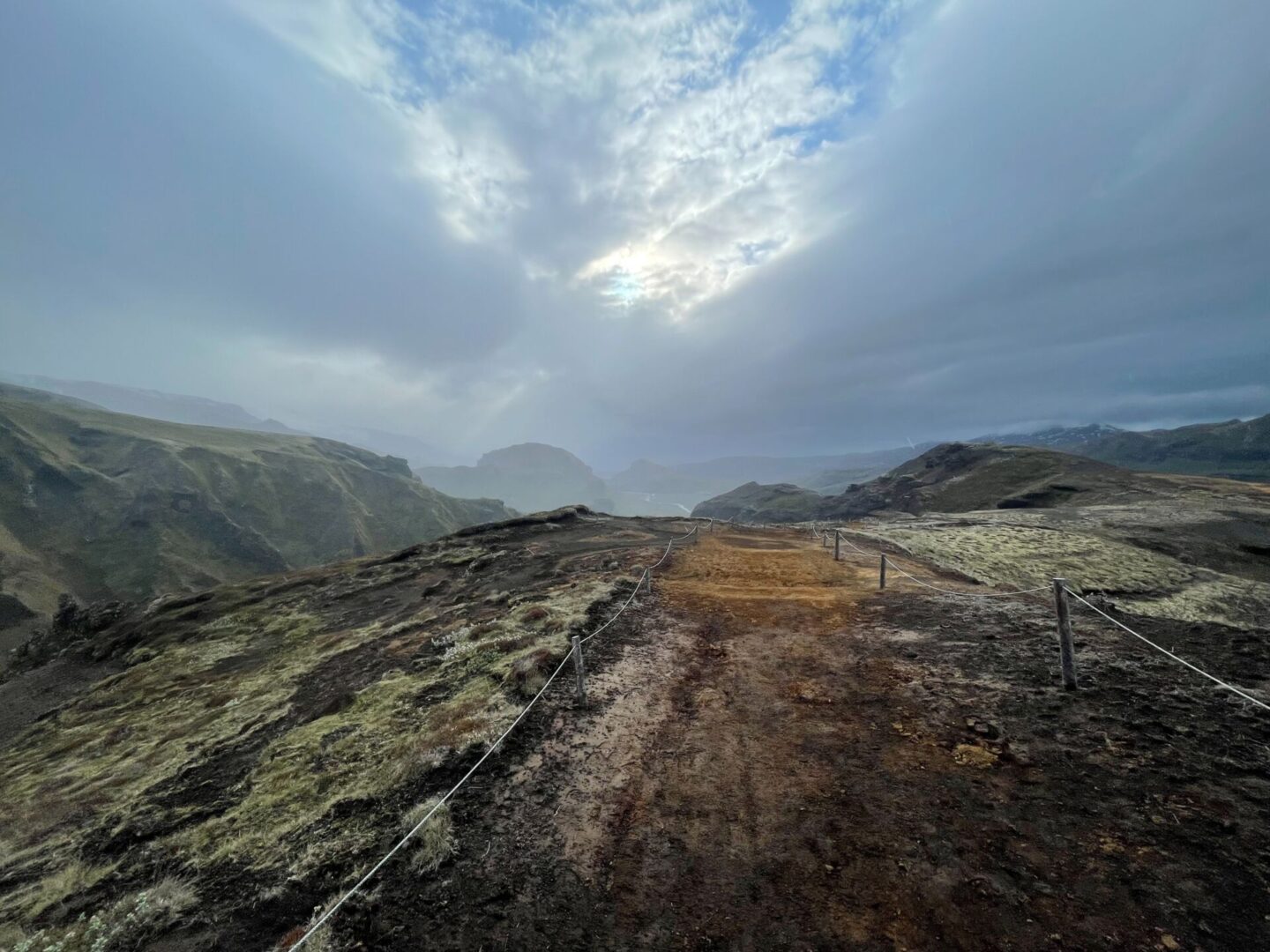
FINALLY, we saw the parking lot. Can you imagine the cry of relief? I actually think one of us cried.
I remember seeing it and realizing it’s almost done, so I need to enjoy the last bit. And truly, I did. It was incredible, even though I was exhausted. The sun had come out, it was very lightly raining and so peaceful.
It was life changing when we finally set foot on what felt like solid ground, not a mountain. And when we saw the post that told us where our meeting point was, I think we all had tears in our eyes. We entered the camp at 8:15 pm, and our bus left at 8:30 pm.
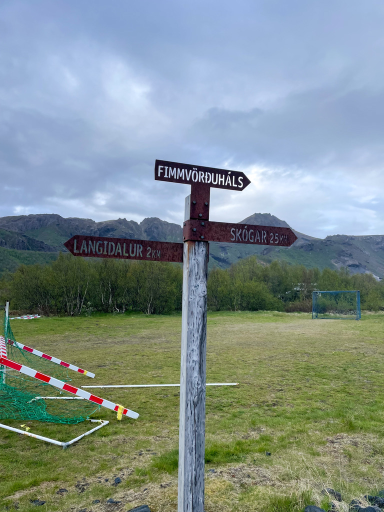
When we finally reached the hut, we walked in as shells of humans. Remember, we did this hike almost non-stop with only a PB and J for lunch and only one water bottle each. (Again, I wouldn’t exactly recommend that.)
Before we could say a word, the people at the hut told us where the water was and where the bathrooms were, they just knew. (What I would give to see what we looked like walking in from a third person perspective.)
Around ten other people were there, all of whom had hiked it overnight and were waiting for the same bus but had time to have a few drinks first. When we talked briefly with them, they said it took them all around 12-15 hours to complete, so they were incredibly impressed with our 9.5 hours (and so were we).
We walked right onto the bus and plopped down. And when I say bus, I mean a 4×4 bus that requires a ladder to get into. Remember, this wasn’t your average pickup point. We had an hour and a half back to our car, 95% remote and off-road. I think we crossed a river six times on the way back.
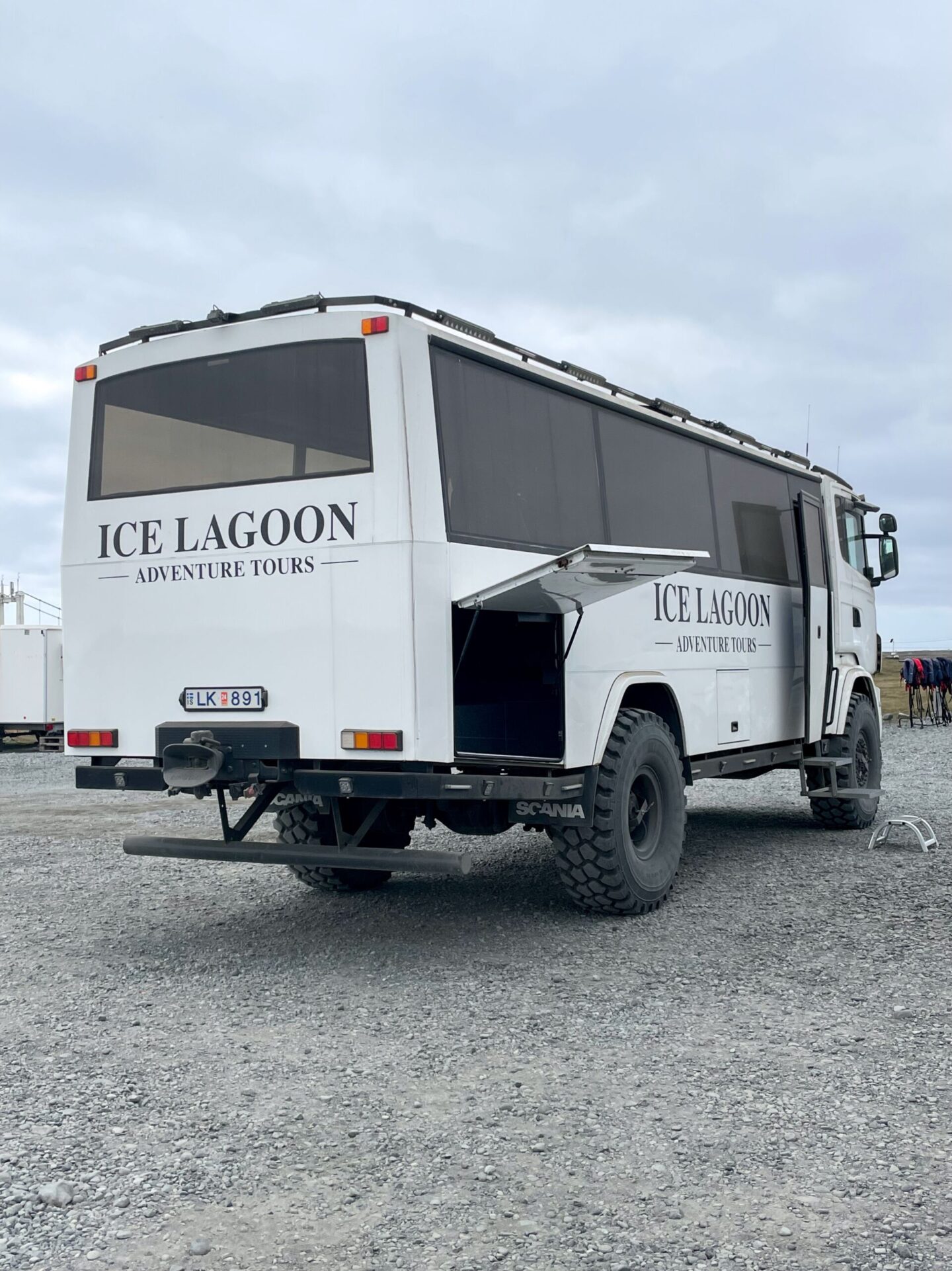
We hardly chatted on the ride back, all too exhausted to think. And after showering, we all passed out until the following day.
It took us three full days to bring up the hike because it was that transformative. I don’t know how else to explain it. And even now, we talk about it almost every time I see those friends.
What we would have done differently, what was difficult, what we loved, what we hated, how it changed us, how we all used our strengths to carry the team, etc.
And even though it was one of the hardest things I’ve ever done, and I would probably do it entirely differently if I knew, I don’t regret it for a second.
So, do I recommend it? Without a doubt, YES, if you’re able. Although I’d recommend researching trail conditions, going with a guide, having the proper amount of time, and adequately fueling–all pretty obvious now that I say it.
But yes, definitely do it! I’m so glad I did.
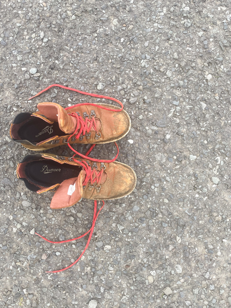
P.S. If the state of my boots gives you any indication of the challenge…


Leave a Reply